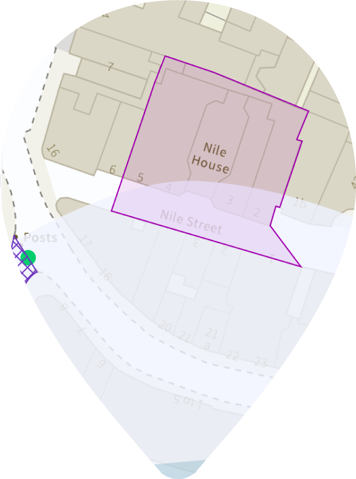
Our combined map and data pack delivers detailed and accurate environmental land use information from authoritative and unique environmental and geological datasets. They provide clarity on past land use with the highest resolution historical mapping imagery available.


Groundsure Insights is our free, trusted data viewer that allows you to view data layers including flood risk, geology, boreholes, hydrogeology, mining, past and present landfills, radon, environmental designations (e.g. nature reserves etc), cultural designations (e.g. listed buildings, conservation zones etc) and topography (LIDAR).
We’ve recently updated the design to create a seamless experience for both desktop and mobile.
Simply register for your free account and start your journey now.
The Groundscreen solution provides an early view of development risks, along with remedial cost ranges relating to the presence of ground and groundwater contamination and geotechnical issues. It enables easy and rapid identification of potential hotspots and problematic areas within sites that may require different remediation and containment approaches.

The ultimate due diligence package: Enviro, Geo & Map Insight reports.
Essential for Environmental Consultant’s desktop study.
The definitive historical map report essential for geo-environmental professionals.

Get large scale detailed maps of Great Britain with over 400 million individual features incorporating everything from roads to individual buildings and areas of land with OS MasterMap