

The value of Insights – Groundsure Explorer
Groundsure Explorer is our interactive online mapping and data tool that lets environmental, property and planning professionals visualise and analyse detailed environmental risk data, geological and historical information for a specific site or area.
What (issues) does Explorer solve?
At Groundsure, we believe the best decisions are made when the full picture is available.
1). Explorer solves the core challenge of turning complex, disparate environmental and geological data into a usable, visual, and shared intelligence platform.
2). It enables better site analysis, faster decision-making, clearer reporting, and improves team collaboration for property, planning and environmental professionals.
3). It overcomes the limitations of static reports and disconnected data sources by giving professionals an interactive map-based workspace where they can view rich datasets together.
4). Explorer is designed to help with due diligence, risk assessment and reporting – by combining multiple data layers into one intuitive digital workspace.
Why use Groundsure Explorer?
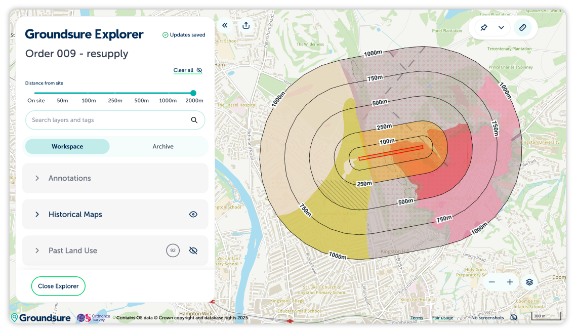
Explorer is an essential tool for property and environmental professionals. It brings more than 170 years of historical maps and over 130 data sets, to your fingertips. It delivers a new way of analysing environmental data from the Groundsure Insight PDF. For years, professionals have relied on Groundsure Insights for environmental and geological intelligence. Today, that expertise comes to life through Explorer, a map-based viewer that’s fast, flexible and built for real-world decision-making.
From understanding historical land-use to contamination risk and property due diligence, Explorer brings every site into sharp, actionable focus.
When you purchase your Insight PDF, you’ll benefit from 12-months access to Groundsure Explorer. This includes:
Enviro Insight – Detailed environmental data, from flood zones and pollution inventories to water quality and permits.
Geo Insight – Comprehensive geological intelligence, including unique sinkhole, mining and subsurface workings datasets.
Map Insight – High-resolution historical maps scanned in both colour and greyscale for improved interpretation.
Key features we’re proud of
Groundsure Explorer is fast becoming an essential tool for Geo-environmental consultancies.
- It streamlines workflows and improves cross team collaboration and stakeholder engagement.
- Seamless access to data on the move, or on-site whilst teams back in the office can make notes, add pins and dissect the data.
- This enables remote teams to interact with the platform simultaneously and collaborate on the same projects with ease.
What our clients say
“Groundsure Explorer is currently helping us with our Phase 1 Desk Study workflow.
The transition between office and site work is critical for us, and the platform bridges that gap perfectly. We frequently use Explorer on iPads during site walkovers; having dynamic access to the data layers whilst standing in the field, provides context that you can’t get from paper sources alone, and it means that we don’t have to bring so many sheets of paper with us too!”
Rick Saville, owner and Managing Director at Abbeydale Geoscience
Tools and features that make a difference
- Unlimited exports at no extra cost: Download as many maps and data views as you need, whenever you need them.
- Instant preview: Visualise your site before exporting, saving time and effort.
- Clear, helpful map key: Understand what you’re looking at quickly and confidently.
- Effortless screenshots for reports: Grab the data visuals you need, perfect for adding to your reports.
- Fast keyword search: Locate specific information instantly across multiple datasets.
- Built-in measuring tool: Measure distances and areas directly on the map.
- Collaborative notes and tags: Work as a team with shared insights and searchable labels like ‘review’ or ‘completed.’
- Organisation-wide sharing: Make your findings accessible across your firm or project team.
- Help and support: The Groundsure team is always available to help if you need them.
How to access Groundsure Explorer
When you purchase a Groundsure Insight PDF, you’ll automatically receive 12-months of free access to Groundsure Explorer. There’s no need for a separate registration or complex setup. Simply sign in to your Groundsure Insights account, where you’ll find a new banner on your homepage and within your orders section that links directly to the Explorer interface. There’s no extra steps, no surprises, and no additional fees.
Get exploring today
Whether you’re searching for historical property maps or you need environmental data mapping tools that you can trust, Groundsure Explorer brings everything together in one reliable, easy-to-use platform. The story of your site is waiting to be discovered.
Find out more about Groundsure Explorer and how it can help you today.
Share:
Date:
Jan 14, 2026
Author:
Tom Harvey-James