
In the last in our series for Women in History Month celebrating those who have made some of the biggest contributions in the development of data and the industries we work with, we take a look at the life of Mary Spence, one of the UK’s leading cartographers.
Mary Spence MBE C.Geog FRGS F.B.Cart.S grew up in a small coastal village in the Kincardineshire region of Scotland; where her passion and enthusiasm for the great outdoors and mapping the natural world began. This curiosity from a young age as well as an inspiring teacher during her secondary school years were the sparks that encouraged her into the world of cartography.
After gaining a degree in Geography from the University of Aberdeen, she initially thought she would become a Geography teacher, but instead, following encouragement from professors, she went on to complete a masters in Cartography from Glasgow University, soon releasing that creating and redesigning maps was a career path that really appealed to her.
Soon after finishing her studies, she started her career as a cartographic editor for Pergamon Press in Oxfordshire, during this time it was still rather unusual for a woman to be working in the world of cartography and mapping… and for the working world in general it was seen as a risk and a waste for companies to hire women as they would soon leave to start families.
Mary even delayed having children in the former years of her career in order to be taken seriously in such a male dominant industry, and once she did, she soon returned to work, breaking the mould in becoming the ‘breadwinner’ of the family while her husband stayed at home with their children.
After a few years gaining experience with a variety of different companies from David Fryer & Co to Global Mapping, her desire to learn new skills never waivered. With the introduction of computers, Mary saw this as an opportunity for growth and development and was keen to move with the times, exploring different software; from illustrating maps using Adobe to the use of GIS in her projects. Never wanting to be left behind, she took time out to be mentored in the use of GIS software by Tim Rideout of XYZ Maps.
Mary’s career success continued, being part of multiple award winning projects for cartographic excellence. She achieved multiple impressive credits to her name across both civilian and military applications, leading to her gaining an MBE for her services to Cartographic Design in 2003, when talking of the presentation day Mary stated:
“The day itself was a blur of excitement from getting into the taxi at the hotel and saying to the driver, ‘Buckingham Palace, please,’ then the investiture itself which I can scarcely recall, followed by afternoon tea at the Ritz.
Oh, and the hat! It was Prince Charles who presented my MBE, and he asked if maps were not all made by computers nowadays, to which I replied that the computers needed someone to tell them what to do, or something equally corny.”
(extracted from Women and GIS: Mapping Their Stories)
A Chartered Geographer and Fellow of the Royal Geographical Society, she is also both Past President and Honorary Fellow of the British Cartographic Society.
Once given the opportunity to develop and design her own maps from scratch, she was able to use her extensive knowledge to create concept maps such as ‘The Dynamic World’ and ‘The Environmental World’, both of which won her awards, including the Stanfords Award for best paper map with comments from the judges:
“Good symbology, size, does the job of clearly conveying the environmental issues facing our planet, a top quality piece of cartography” (extract taken from MapSherpa.com)
The Environmental World Map is an educational wall map that shows a wide variety of information from pollution levels and incidents (including the the BP Deep Horizon Oil Spill in 2010) to visualisation of deforestation and urbanisation as well as outlining coastlines at risk from rising sea levels.
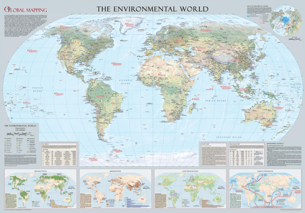
Image description: Environmental World map won both the Stanfords Award for Printed Mapping and the British Cartographic Society Award in 2011 as well as Best Wall Map 2012 as the International Map Trade Association award. (Image courtesy of Global Mapping – – available to buy here)
Mary has co authored and published two editions of ‘Cartography: An Introduction’ – a guide that helps those starting out on their cartographic journey. She has heralded the importance of GIS in making great maps whether in print or online and is hopeful her work will continue to influence the next generation, in particular encouraging young women to pursue their dreams to the best of their abilities.
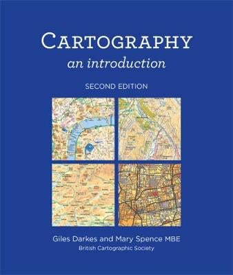
Cartography – An Introduction by Giles Darkes and Mary Spence MBE – available to buy from https://grahamfisher.co.uk/publications
For me, Mary is an inspirational leader in an industry that tends to be male dominated. She is a reminder to always push the boundaries and to stay curious throughout your career, to keep learning and developing your skills and opportunities will often open up for you.
References and Thanks
Women and GIS; Mapping Their Stories, Esri Press, 2019
Mapsherpa.com, Map Distributor
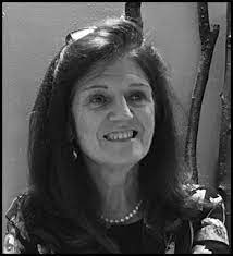
Lead image of Mary Spence courtesy of Graham Fisher and Swallow Publishing