

Local authorities permitting development in flood prone areas named
Original research by leading environmental data company Groundsure highlights councils approving housing developments on flood plains – even when alternatives appear to be available
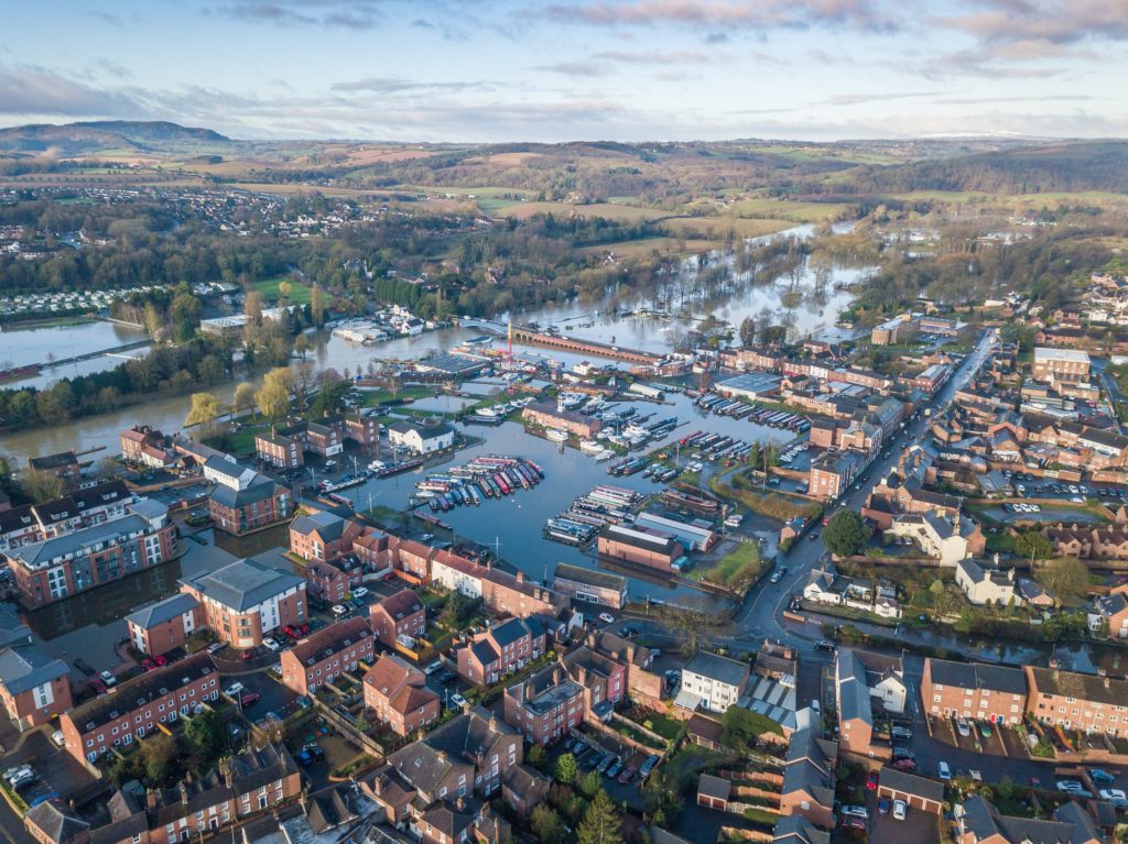
New research (1) has revealed the top 10 English local authorities that are allowing building in previously undeveloped flood prone areas (2), with the top four being in the South East.
Groundsure, the UK’s leading authority on environmental land risk, analysed new build properties across England, specifically the proportion built on previously undeveloped land at high risk of flooding.
The Borough of Dacorum in Hertfordshire topped the list of councils building with 41 per cent of its new developments, built between 2015 and 2016, landing in high flood risk areas, even though this land covers just 2.3% of the borough. The research identified Dartford in second place, followed by Worthing, while East Hertfordshire and North Somerset came fourth and fifth respectively.
The proportion of new properties being built on these high-risk flood zones has steadily risen in the past two years, from 7% in 2013-14, to 8% in 2014-15, up to 9% last year (3). While Planning conditions often include flood defense measures, homebuyers are frequently unaware and vulnerable when flooding occurs.
Dan Montagnani, managing director at Groundsure said: “Regardless of any flood mitigation measures required by planning and put in place, homebuyers need to consider additional risks and implications that come with buying a home built on a flood plain. Buyers may not fully appreciate flood risk and its impact on insurance premiums, resale valuations, future investment in the property or simply the damage flooding can cause – the average cost of recovering from damage following flooding is almost 30 higher than that following a burglary (1).”
While all development in flood plains is subject to stringent flood risk assessment in both design and construction, this data shows that variation in the proportion of development occurring on the flood plain differs hugely from one Local Authority to the next.
Additionally, Groundsure’s sales data indicates that only 58% of people are purchasing a full flood report and as such homebuyers, particularly of properties like those identified in this research, may be unaware of the full risks associated with the property, any future flood measures required and the impact on insurance premiums.
- The research analysed data from the Environment Agency (Flood Map for Planning (Rivers and Sea) – Flood Zone 3), Land Registry (Price Paid Data) and the Department for Communities and Local Government (National land use change statistics)
- Flood prone areas refers to Flood Zone 3 (FZ3), land in FZ3 has a one in 100 or greater annual probability of river flooding or a one in 200 or greater probability of sea flooding
- Department for Communities and Local Government, November 2016
Contains public sector information licensed under the Open Government Licence v3.0.
Share:
Date:
May 12, 2017
Author:
Groundsure