

Groundsure supporting African humanitarian aid relief through Hot Mapping

We have once again supported the global hot mapping initiative with some of our data, consultancy and GIS teams involved in help map some critical features to support vital humanitarian aid across the world.
HOT mapping is collaboration mapping reaching those in need through maps, using OpenStreetMap as a base for all projects. While it is very easy to pick up a map here in the UK or google a specific address, it is not so easy in remote villages across parts of Africa.
Various NGO’s (Non-Governmental Organisations) and charities request mapping and set up projects on the HOT website. They may need to identify individual properties, whole residential areas, roads or paths from aerial imagery. This work is especially important in the wake of earthquakes and landslides, as well as understanding population density and distribution to help manage food and healthcare needs on the ground.
We usually spend a couple of hours each month supporting specific priority projects – normally an hour of working time, an hour of volunteered free time. This time, our focus was on mapping an area in the Mutasa District in Zimbabwe. The project (coordinated by Médecins Sans Frontières) was to help areas that had been impacted by Tropical Storm Ana at the end of January as well as looking at improvements to flood resilience.
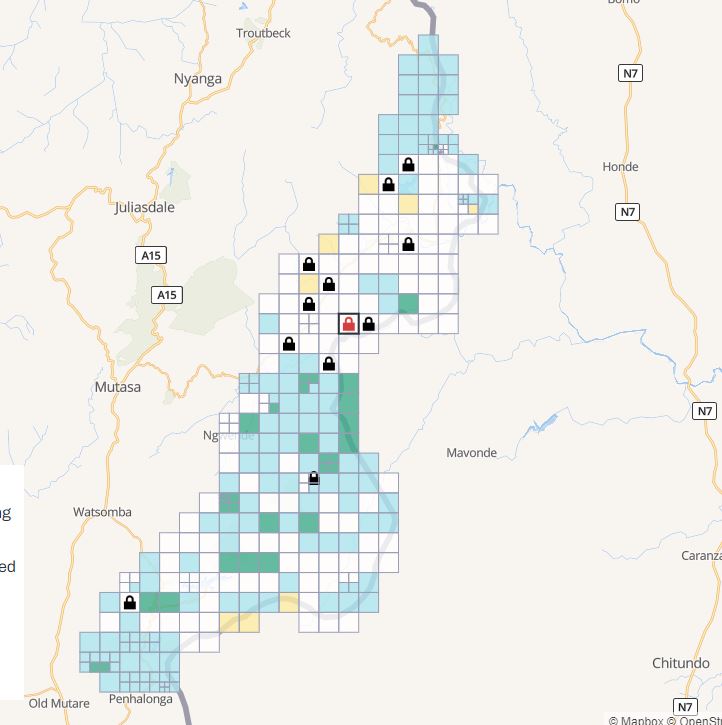
Locked tiles above showing the areas we worked on as a team.
Using the aerial imagery, the team spotted buildings and drew polygons around them and tagged them as a ‘building’. By identifying the likely numbers of households in one area, it provided vital information for MSF to calculate how much aid and resources would be needed in this area to help prioritise the ongoing response. needed.
Once the area is mapped, it is marked as ‘ready for validation’ and then the HOT team, who have dedicated validators, check over our work before marking the tile as completed and is then ready for use by the agency who requested it.
We have been HOT mapping since 2016 and involved in a wide range of projects, including helping with the aid response to the 6.8 magnitude earthquake that hit Turkey at the start of 2020.
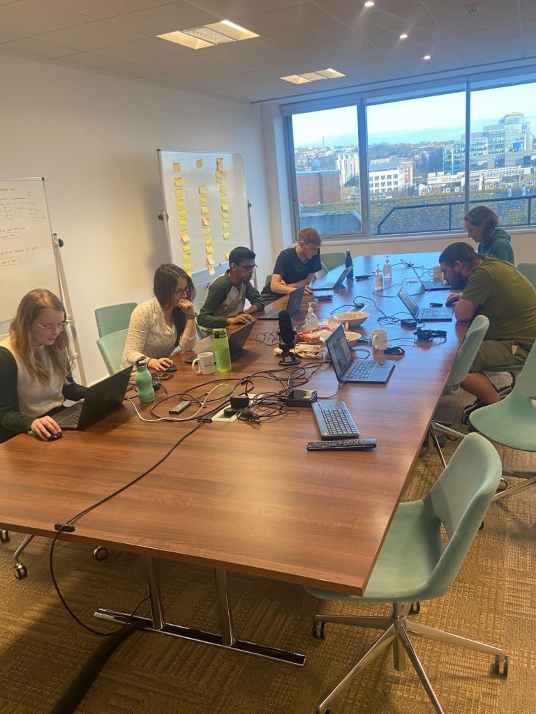
Part of the HOT Mapping team in their latest session.
As of this month, there are currently 383,000 mappers globally and since the initiative began, over 124 million buildings and 2.7 million kilometres of roads have been mapped worldwide. The initiative is all about putting people around the world on the map where local resources would not make this possible.
If you would like to get involved with HOT mapping or would like to learn more about current projects please go to https://www.hotosm.org/ or contact marketing@groundsure.com.
Keep up to date with our HOT Mapping efforts by following us on Twitter.
Share:
Date:
Apr 22, 2022
Author:
Laura Clark