

A day with Ordnance Survey
The Groundsure team gathered at Brighton station at 6:30am on a sunny Wednesday morning.
Coffee and breakfast pastries purchased, we were ready to board our train to Southampton where we would be spending the day with James MacTavish at Ordnance Survey (OS), as part of Groundsure’s Customer Day programme.
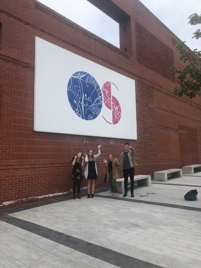
Upon arrival at the OS building we couldn’t miss the opportunity to take a photo next to the huge OS sign outside. We may all seem a little bleary eyed in this photo but fear not, we were all ready and raring to go.
James greeted us with a warm welcome and settled us in with teas, coffees and biscuits, the perfect start to our morning. James is an account manager at the OS and has been working there for over 11 years, so we knew we were in safe hands. He kicked us off with a history lesson.
The Board of Ordnance who were a part of the Ministry of Defence were first brought together in 1783 by William Roy, but the formal birthdate of the Ordnance Survey is the year 1791. In that year the Board of Ordnance began surveying Britain’s southern coasts, which were vulnerable during the French Revolution. The OS have played a huge part in mapping Britain and they were heavily relied on in times of war. During WW1 the OS had a staff force of over 5,000 people, they have downsized a little since then and currently have 1,016 staff across the UK.
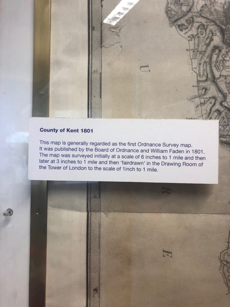
We also found out that it took an incredible 10 years to create the first ever map, of which James later showed us a replica kept in the OS head office. These early maps, with their intricate detail of rivers, hillsides and other types of topography are not only beautiful to look at but also surprisingly accurate, considering the limited technology available to surveyors at that time. Early surveyors would use triangulation to map out Britain which is the process of determining the location of a point by forming triangles from other known points. In 1936 6,500 trig pillars were built across Great Britain to aid in the continued mapping of Britain.
The OS has come a long way since the trusty trig pillars and are now using a vast amount of data and SMART technology to continue with their mapping ventures. We sat with Mark Stileman who spoke to us about how OS are using SMART technology from projects like E-CAVE for autonomous vehicles and how they are using AI in their database. These AIs are programmed to locate different features from buildings to trees to even road markings. Did you know that a third of UK road accidents happen at junctions? The OS are using their technology and innovation to develop the foundations for vehicle data exchange and to increase safety for the public.
OS is also part of the Geospatial Commission, which consists of British Geological Survey (BGS), The Coal Authority, UK Hydrographic Office, Land registry and Valuation Office Agency. As a part of being part of this expert committee, the government asked OS to share some of their data, making it openly available to start-ups and smaller businesses in order to generate growth and improve technology. In 2010, about 1/3 of their data was released for free as the OS OpenData.
At Groundsure we use up-to-date OS MasterMap, and OS maps that date back as far as 1840 which underpin our historical land use database. We also resell up-to-date mapping to surveyors, architects and other professionals.
The most important thing we all took away from our Customer Day at the OS is that they are far more than those trusty walking maps we have all come to know and love. I would like to say a massive thank you to James MacTavish for putting on such a fun and insightful day and also a big shout out to the Customer Day team here at Groundsure for organising such a rewarding experience.
To end here are some more fun facts we learnt from our time at the Ordnance Survey:
- Digitisation of their data began in 1973
- The OS employs over 200 surveyors across the UK
- There are 500 million features in their database for England, Wales and Scotland
- They update their database up to 20,000 times a day
- The currently own two aircrafts which fly the length and breadth of the entire country collecting aerial imagery
- They also have a drone named Astigan. This drone flies at 67,000 feet and is 38m wide. It weighs only 149kg and can fly for up to 90 days
To find out more about Groundsure’s news and latest blogs, please visit our Resources page.
Share:
Date:
Nov 18, 2019
Author:
Emily Cornford