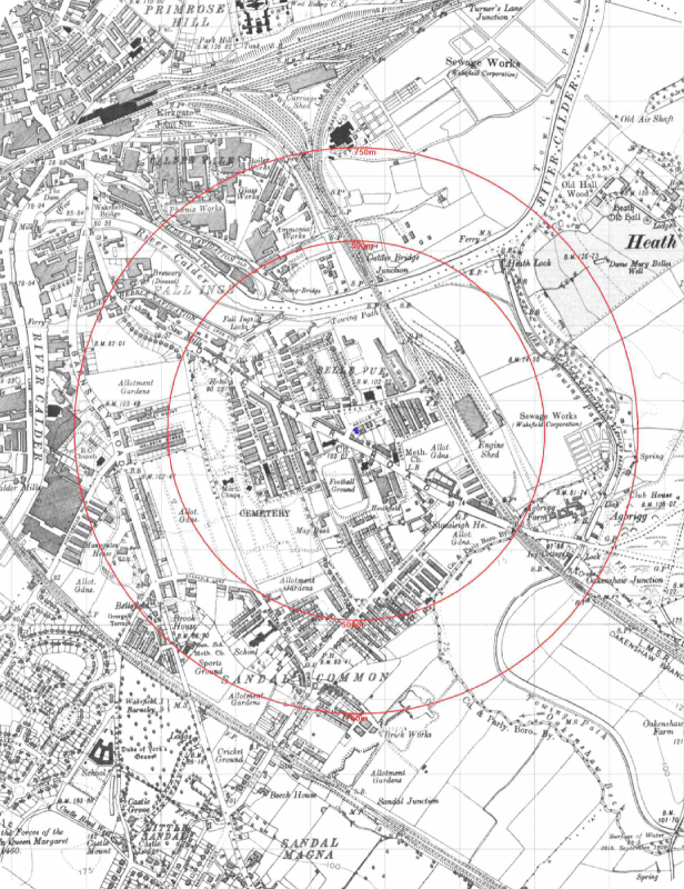
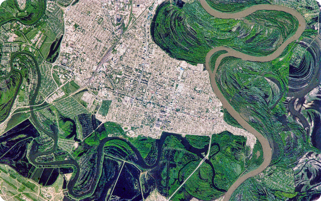
Our combined map and data pack offers detailed, accurate insights into environmental land use, drawing on authoritative and unique environmental and geological datasets.
It provides a clear view of past land use with the highest-resolution historical mapping imagery available, giving you the information needed for confident site assessment and planning.