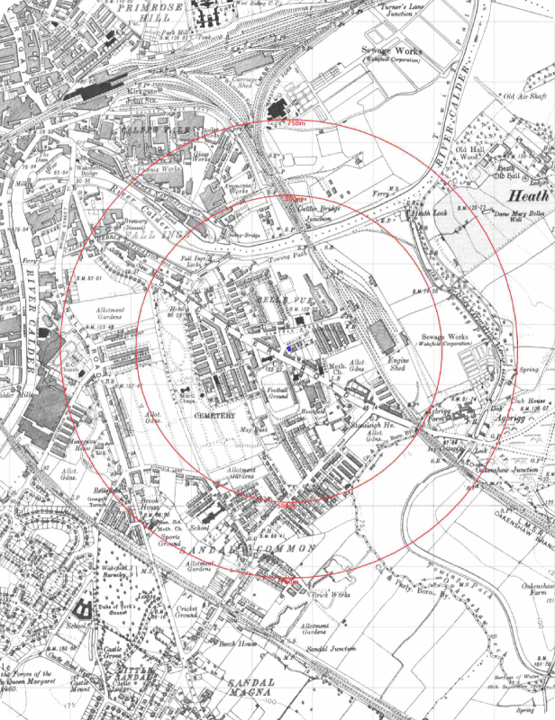
Historical Ordnance Survey® Maps provide high-resolution insight into your site’s past, with scans exceeding 500 dpi for exceptional clarity and confidence in interpretation. Covering maps from the 1840s onward, they reveal detailed historical land use to help assess potential contamination risks and liabilities.
Each map includes original marginalia details such as survey, leveling, and copyright dates, ensuring a complete and reliable resource for accurate site analysis.