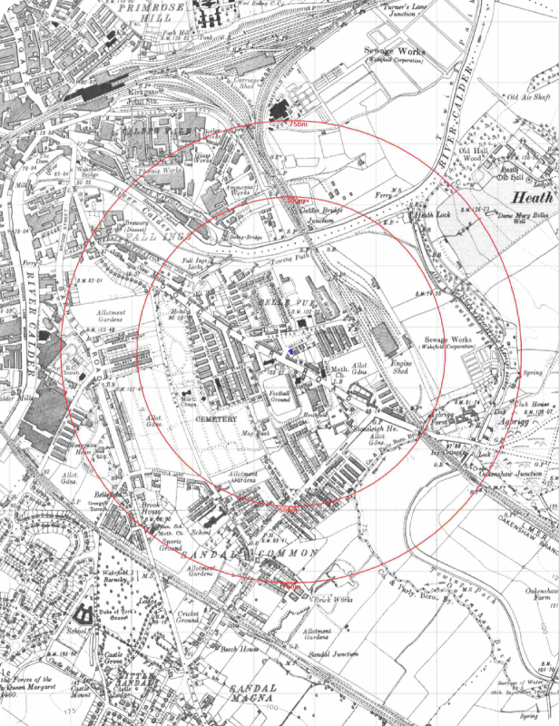
Ordnance Survey® mapping products in all standard digital formats.
This includes OS MasterMap®, the most detailed and seamless mapping available, featuring over 500 million uniquely identified real-world objects; OS VectorMap Local®, a customisable, street-level mapping solution offered in both raster and vector formats for flexible project and web application use; and OS Explorer Map®, a georeferenced 1:25,000 scale colour raster product, the digital equivalent of the OS Explorer® paper series.