
The UK’s leading environmental data provider enables land consultancy professionals with a clear, simple way to understand potential site issues.
We are pleased to announce that we have upgraded groundsure.io, our open access digital intelligence platform for geo-environmental professionals to be able to get an upfront overview of the key risks or impacts that could affect the site and project.
Groundsure.io has been operational as a prototype for a few years and has acquired a growing and loyal following with little fanfare. Now, new features and an improved experience on desktop and mobile means that geo-environmental professionals are now able to access extensive free data at any time whether in the office or out on site.
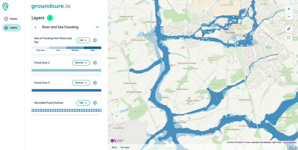
The tool comes with a wide variety of data layers, including flood risk, geology, boreholes, hydrogeology, mining, past and present landfills, radon, environmental designations, cultural designations and topography.
The new interface reflects the highest accessibility standards and includes an intuitive addressing and coordinates look up and drawing tools, allowing interrogation of multiple data layers to show how they interact on site with each other.
Said Dan Montagnani, CEO of Groundsure:
“Groundsure.io offers the first in an exciting series of new tools and resources for environmental consultants over the coming months. In the office or…..out in the field, groundsure.io will provide users with a clear, accurate and trusted source of free environmental data.
Our vision is that .io becomes your ever-ready pilot for site appraisal on a daily basis and will enable access to richer data, project repository and collaboration between teams.”
To find out more about groundsure.io and to register to view, visit here.
.