Explorer will streamline your workflow and elevate your decision-making. It brings 170+ years of mapping history and 130+ datasets to your fingertips. Integrated into our Insights platform, Explorer allows you to deliver deeper analysis and more comprehensive reports to your clients.
Access
Get instant, hassle-free access via your Groundsure Insights account – it’s ready once you order a Groundsure Insight PDF.
Interpret
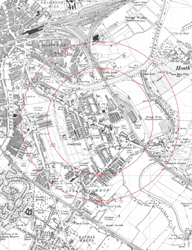
Easy analysis of your site’s history. Compare historic maps side-by-side and overlay key datasets to understand the story of your site.
Deliver
Export unlimited maps and data tables directly into your report, with detailed historical context, to boost your client’s confidence.
Learn how Groundsure Explorer is currently helping Abbeydale Geoscience with their Phase 1 Desk Study workflow. This is what Owner, Rick Saville had to say.
Using Groundsure Explorer has significantly improved the way we produce desk studies. More specifically, the ability to overlay historic maps and quickly flick through different time periods in one place saves a huge amount of time when determining a site history. Being able to clearly see changes in land use over time also improves the accuracy and confidence of our assessments, making the whole process more efficient and reliable.
Hayley Bowers
Senior Engineer - RSK
Game-changing
The ability to see everything in one place is a game-changer. Insights give us confidence that we're not missing any critical risks, and our clients appreciate the faster turnaround times. It's become an essential part of our due diligence process.
Toby Dobson-Smith
Engineer - Ground and Water
Valuable tools
We have found both Insights and Explorer to be valuable tools for us to use for both desk-based studies and also in planning our site investigations. The systems make it easy to visualise the Geo Insight report data, and to be able to view multiple datasets in one place is really useful. The annotations feature on Explorer is a great addition and allows us to easily see changes on complex sites.
Amy Thornes
Senior Geo-Environmental Engineer - Travis Baker
Explore more
Tutorials
How to use Groundsure Explorer
Discover how to get the most out of Groundsure Explorer with step-by-step guidance, practical tips, and helpful resources designed to help you navigate the platform confidently and efficiently.
Discover how to get the most out of Groundsure Explorer with step-by-step guidance, practical tips, and helpful resources designed to help you navigate the platform confidently and efficiently.