

Land Use Data and Map Packs
Featured Product
Groundsure Insight
The Complete View on Contaminated Land Information for your Project.
Our combined map and data pack delivers detailed and accurate environmental land use information from authoritative and unique environmental and geological datasets. They provide clarity on past land use with the highest resolution historical mapping imagery available.

Featured Product
Groundscreen
Our unique Brownfield Remediation Cost Calculator - Rapid and easy Screening for Site Contamination Appraisal.
The Groundscreen solution provides an early view of development risks, along with remedial cost ranges relating to the presence of ground and groundwater contamination and geotechnical issues. It enables easy and rapid identification of potential hotspots and problematic areas within sites that may require different remediation and containment approaches.

Related Products
Geo Insight
An essential report for geo-environmental professionals looking to identify potential ground instability problems that may affect ground investigation, foundation design or possible remediation options.
Enviro Insight
Enviro Insight Report is an essential part of Environmental Consultant’s desktop study.
Map Insight
Map Insight provides the highest quality old map imagery on the market as standard. Available as PDF and Geotiffs.

OS Mastermap
Get large scale detailed maps of Great Britain with over 400 million individual features incorporating everything from roads to individual buildings and areas of land with OS MasterMap
Current OS Mapping
We offer high quality Ordnance Survey mapping, available in all standard digital formats.

All Other Products
Intelligence Optimised
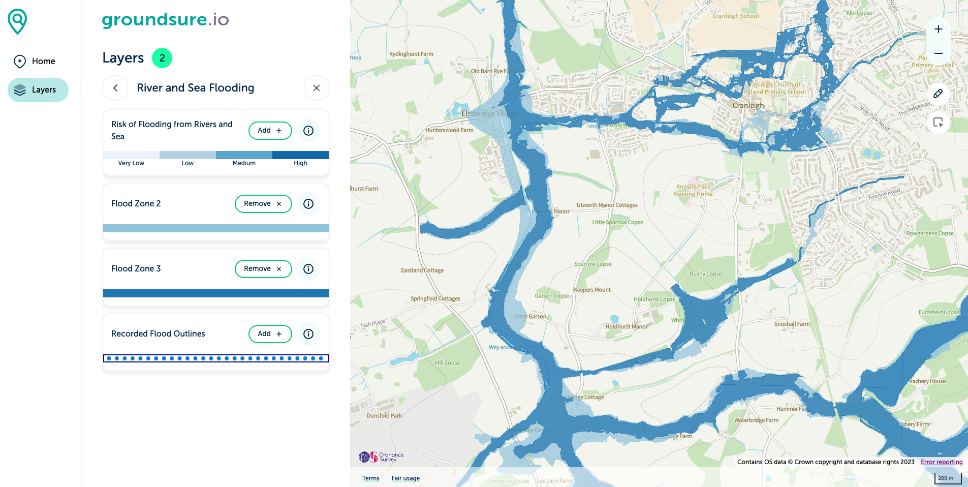
groundsure.io
Your Window on Environmental Risk
groundsure.io is our free, trusted data viewer that allows you to view data layers including flood risk, geology, boreholes, hydrogeology, mining, past and present landfills, radon, environmental designations (e.g. nature reserves etc), cultural designations (e.g. listed buildings, conservation zones etc) and topography (LIDAR).
We’ve recently updated the design to create a seamless experience for both desktop and mobile.
Simply register for your free account and start your journey now.

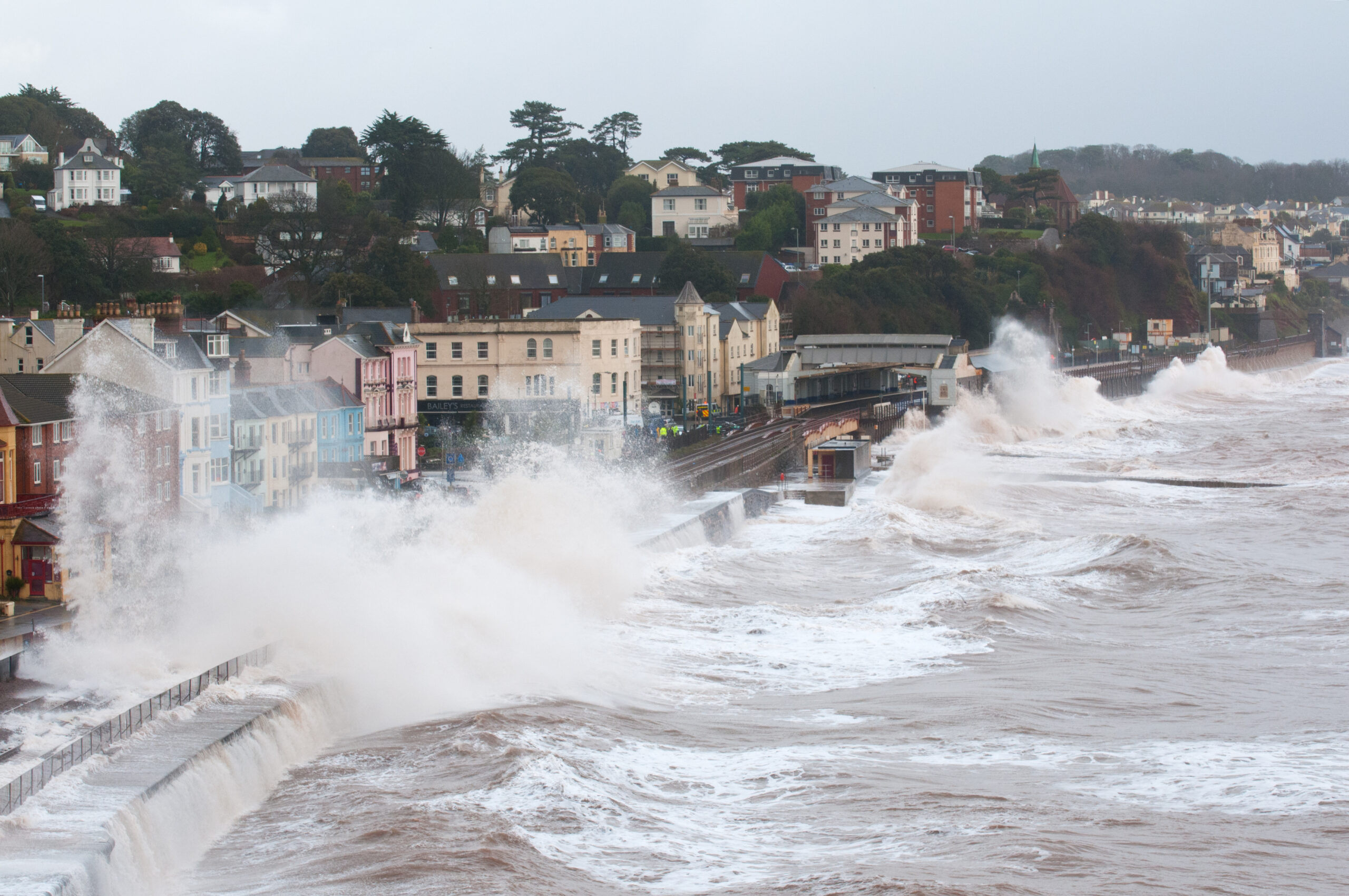
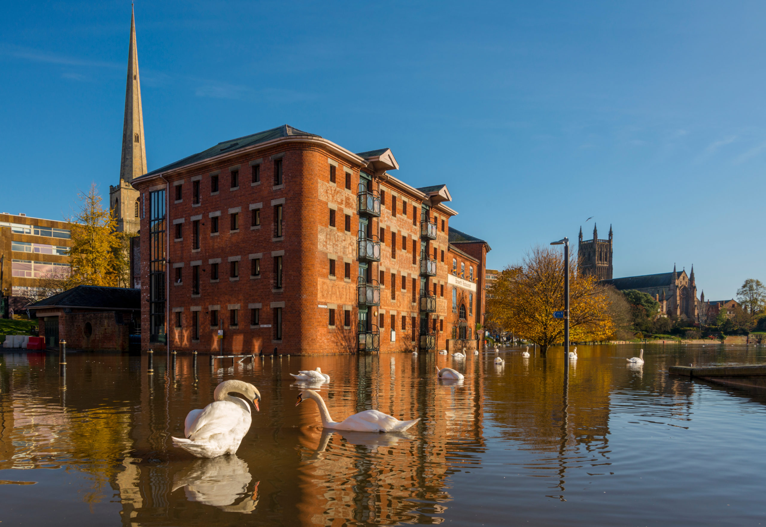
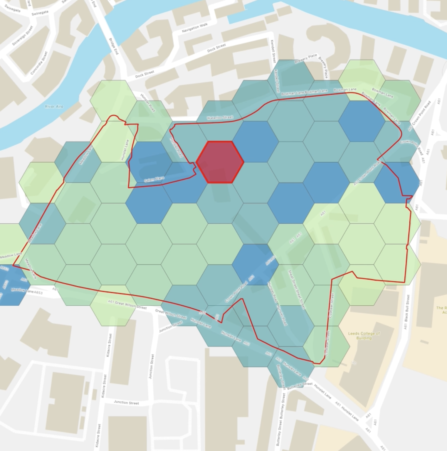
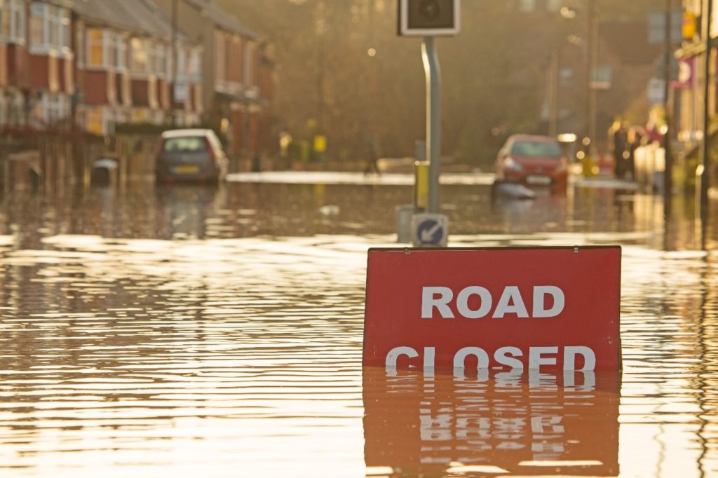
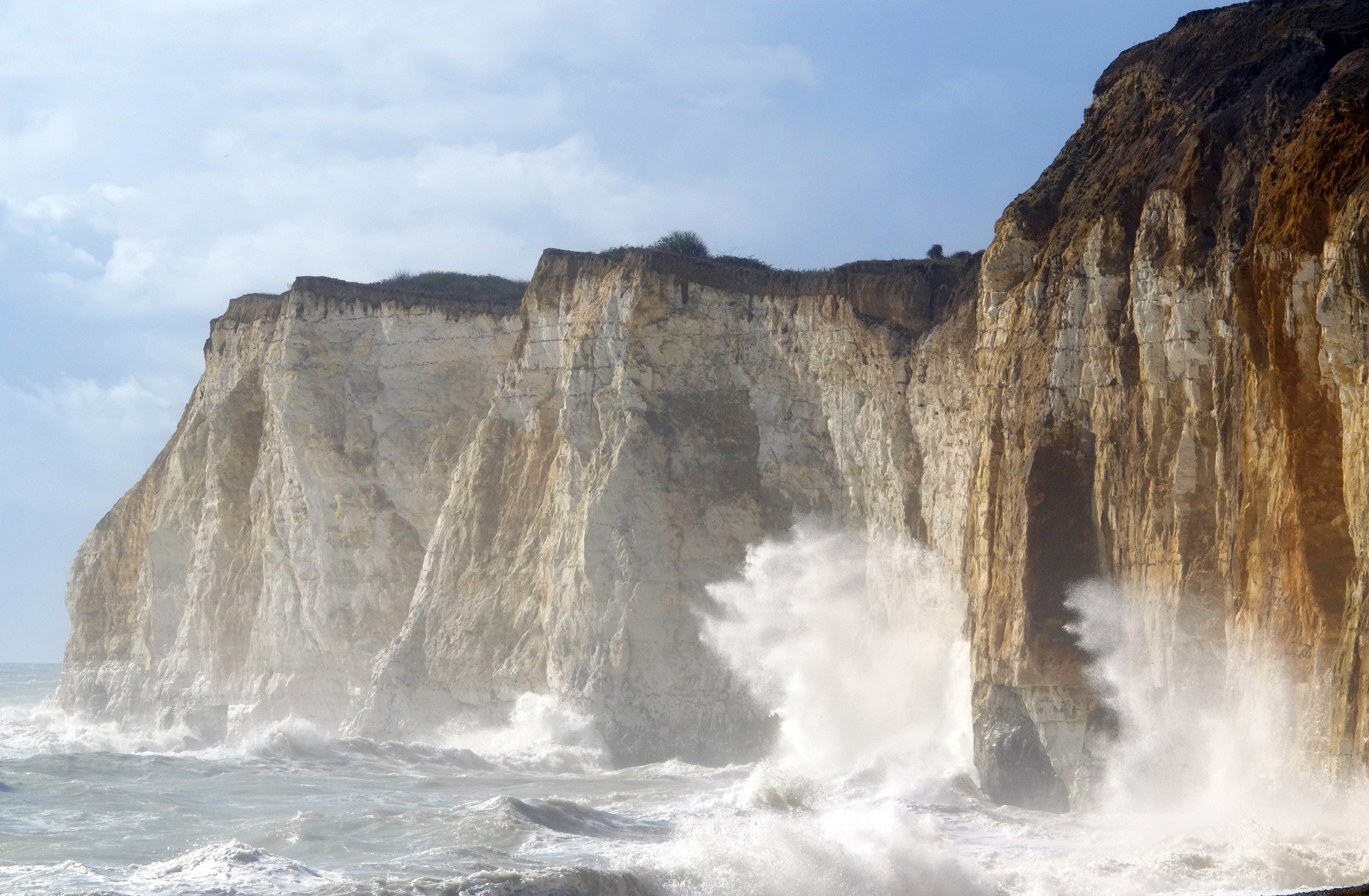
Coastal Flooding That Eclipsed all Others
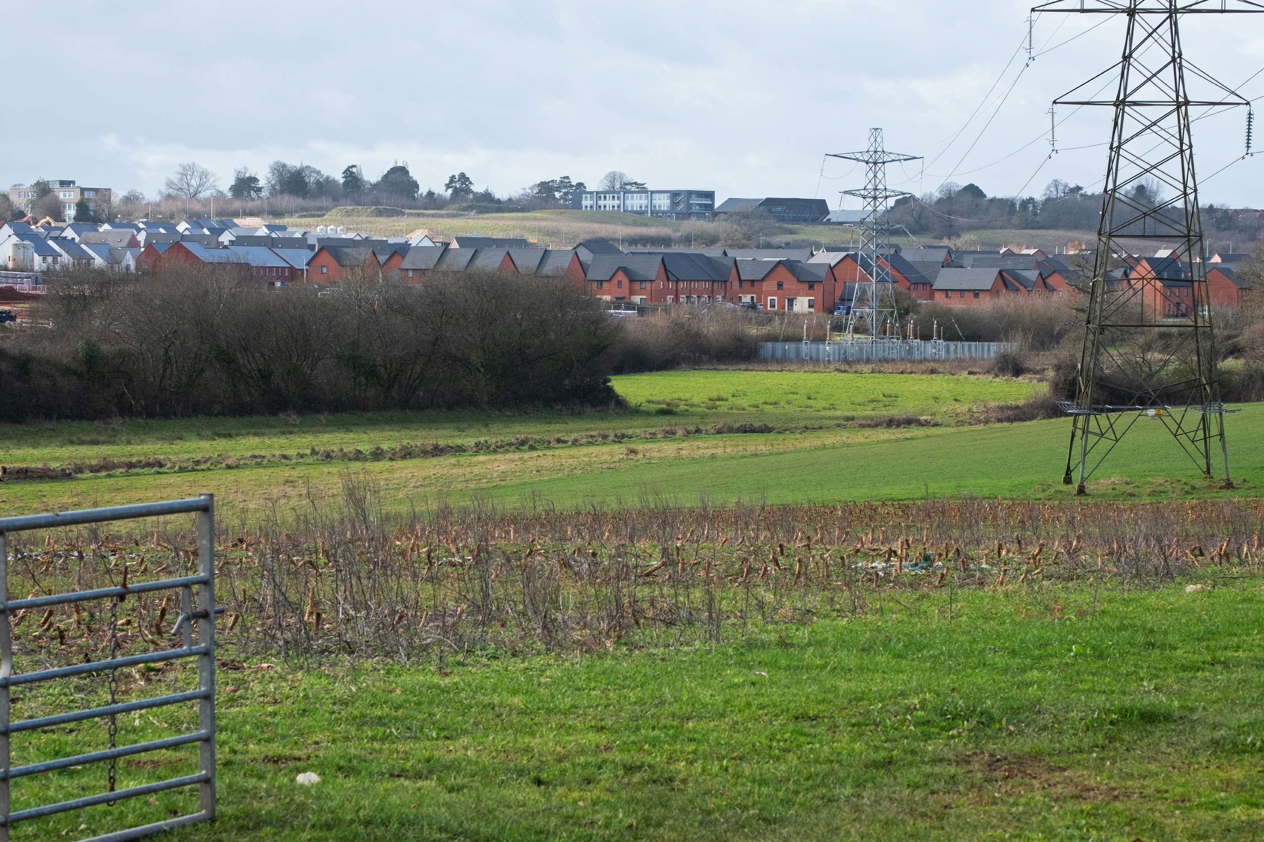
Brownfield First: Dusting off Old Promises?
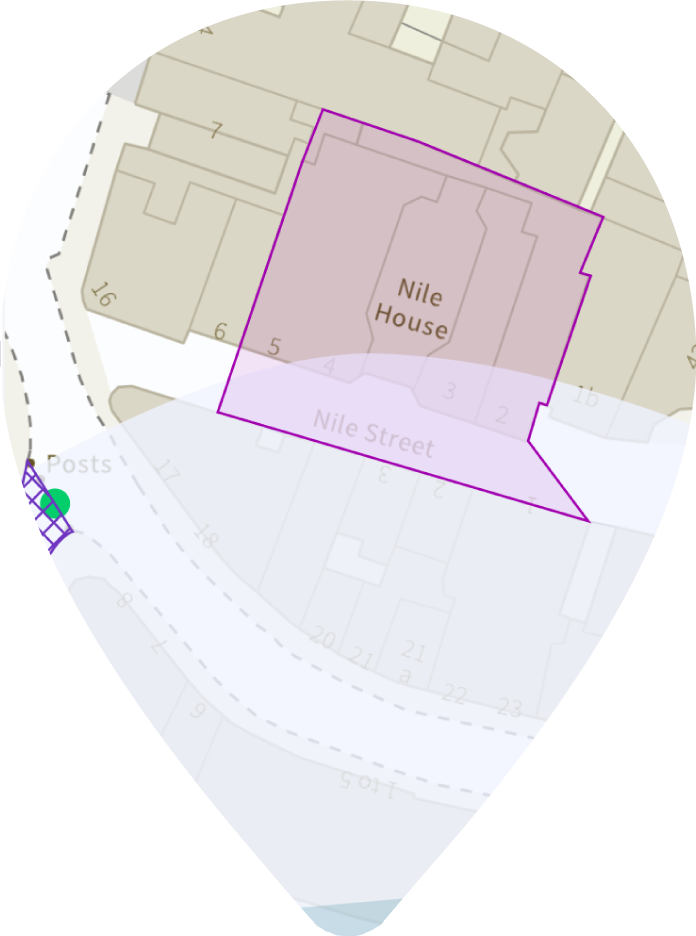
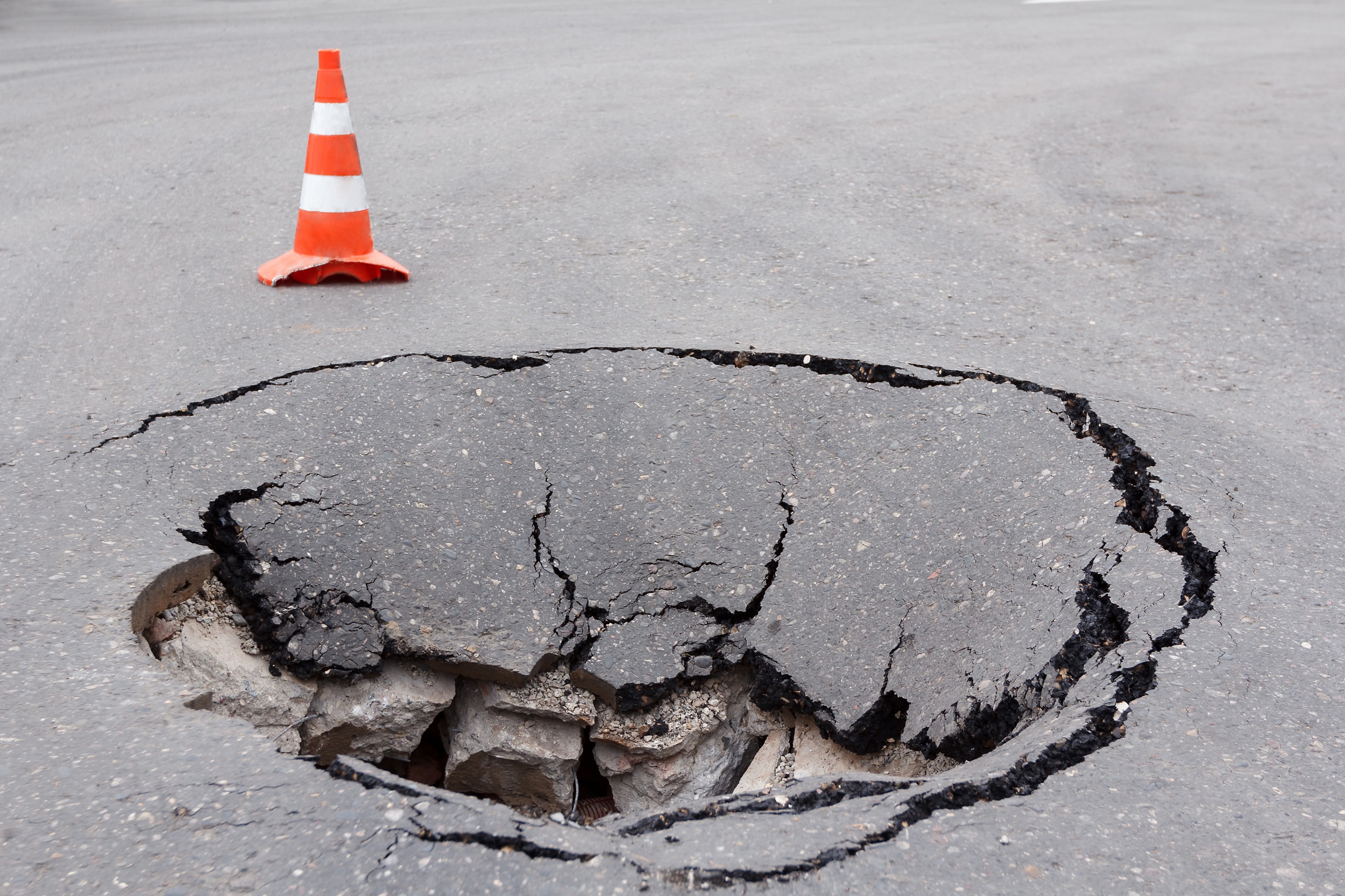
The Holme Fen Posts: Sentinels of a Sinking Land
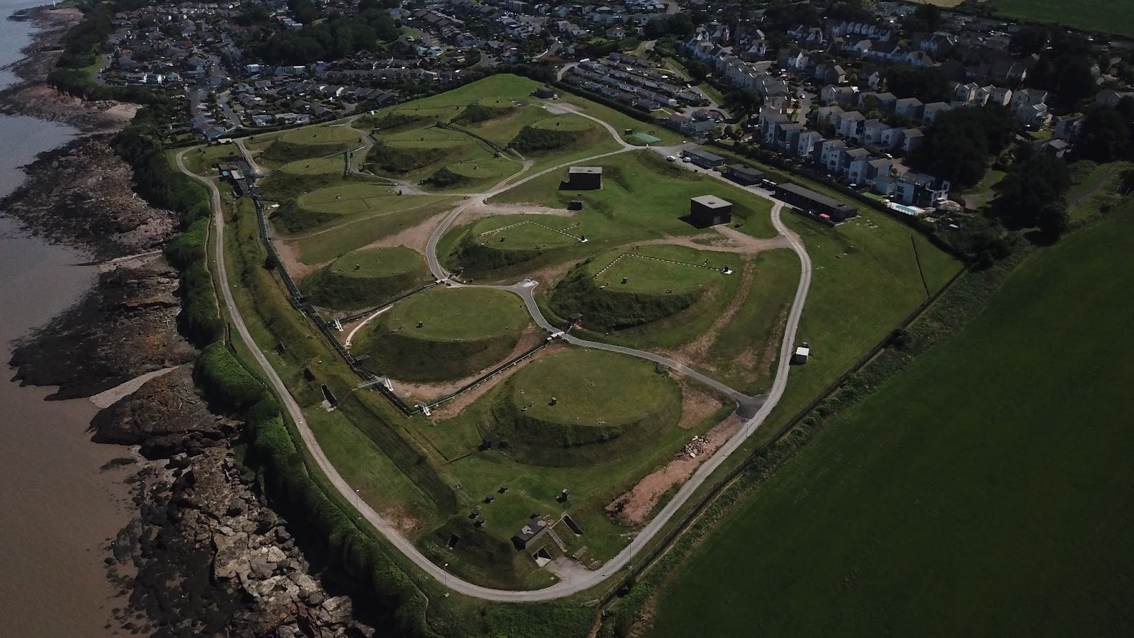
Not a Place of Honour: Secrets in Cornwall’s Cliffs
How do we turn Climate Transition Risks into Positive Change for Clients?

Environmental Permitting Regulations: Agency could levy uncapped liability Variable Monetary Penalties
Climate Transition Risks – What are they and how are they Relevant to Conveyancers?
Groundsure launches enhanced free data viewer for site environmental appraisal

Groundsure Launches Comprehensive new suite of Transition Risk Property Analyses
Fostering Inclusive Connections and Growth: Insights from Our Recent Conference
Groundsure demonstrates its ESG commitment as a Certified B Corporation
Interpreting Climate Search Results for Property Transactions
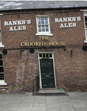
The Crooked House: A Sad Demise to a Proud Emblem of Mining

Coprolite: Mining for Poo in Cambridge
Understanding Permits and the Impact to Commercial Transactions
Groundsure deepens its community charity support
Climate Risk and the Retainer – In or out?
New Mining and Sinkhole data added to Insight Data Packs
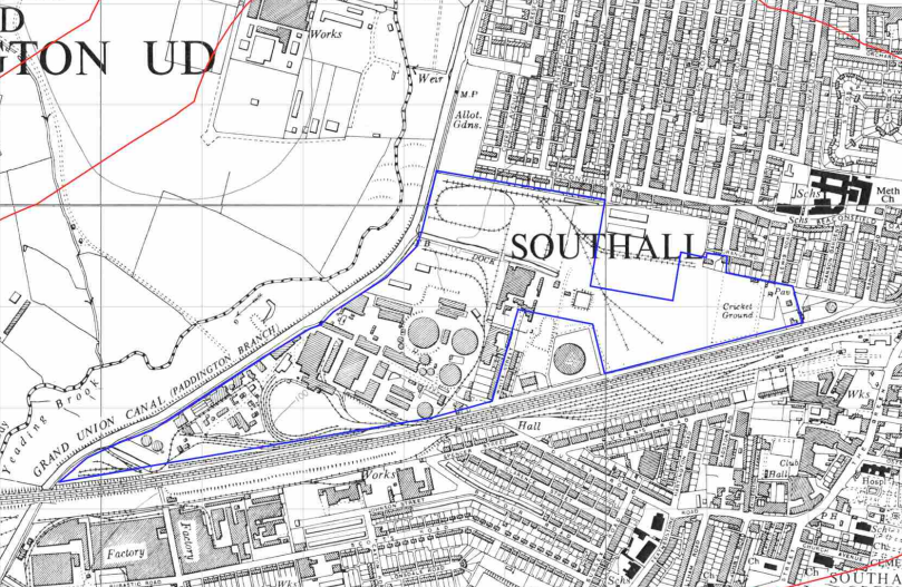
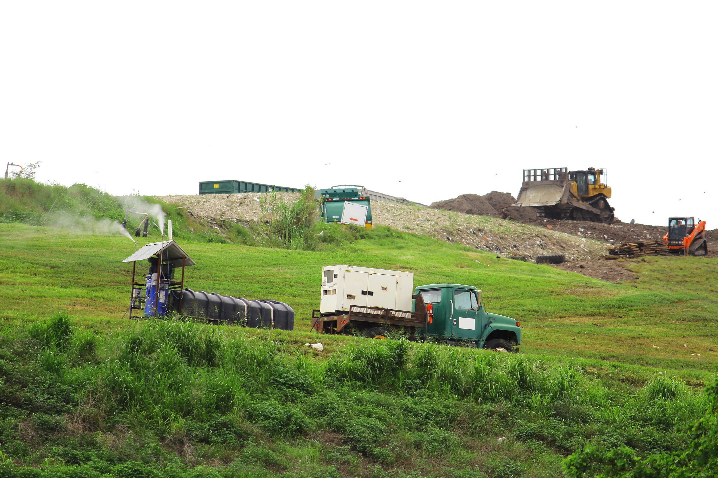
The Southall Stench: Is there a better way to manage public health in long term brownfield developments?
What are COMAH sites and why should I care?

Workplace Mental Health First Aid: A perspective.

Groundsure to offer conveyancers climate risk training in conjunction with Legal Eye
Groundsure Launches Brownfield Site Viability Tool
News: Amendments to the Environmental Permitting Regulations 2016

Groundsure-Sponsored Camborne RFC U16s win the County Bowl

PFAS: A Long Lasting Legacy

Law Society Climate Risk Guidance: Reaction from Groundsure

Climate & transitional risk – who will take charge?

March in Review: Support for our Superheroes

Women in History Month: A leading lady in the world of cartography
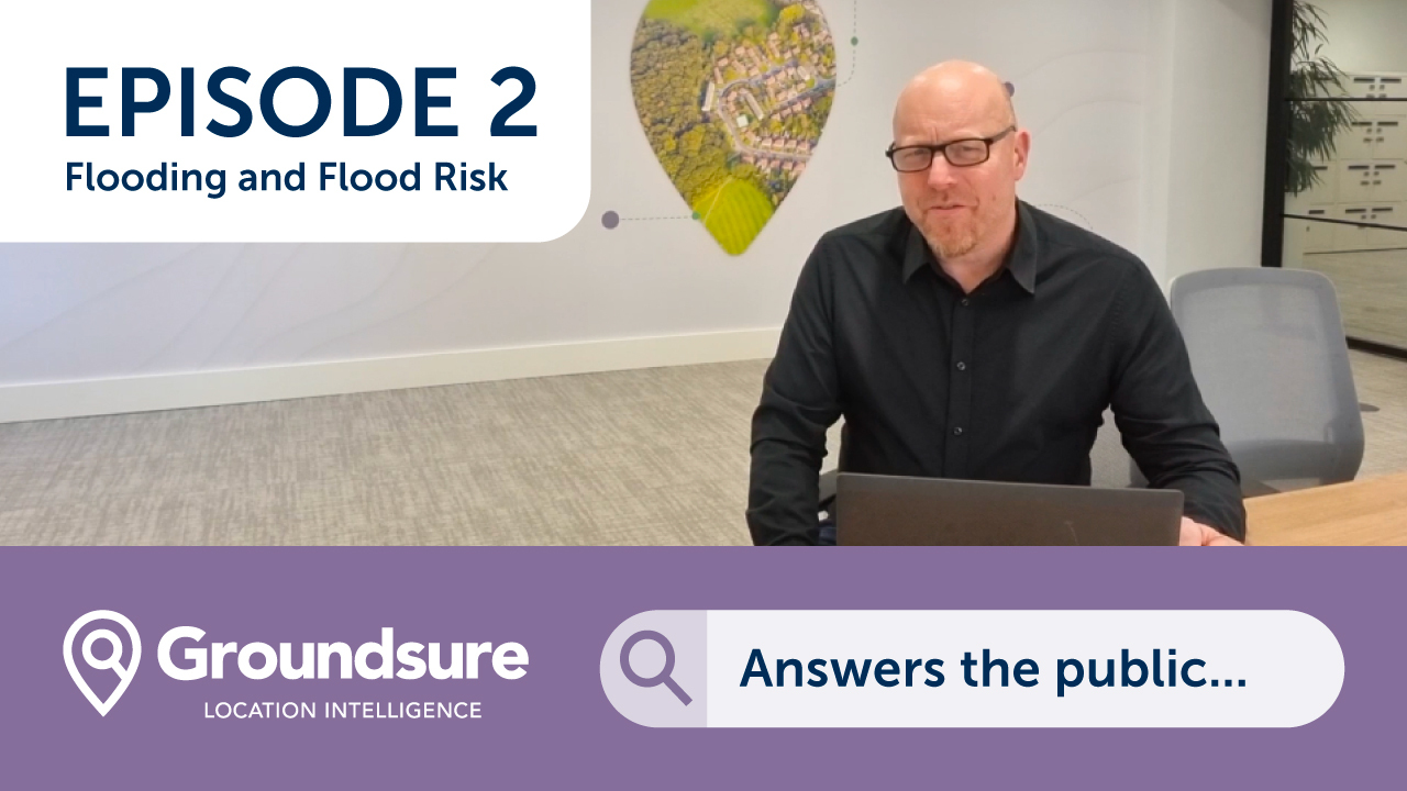
Groundsure Answers the Public…on Flooding

Women in History Month: Judith Denner – Originator of Part2A Environmental Protection Act Legislation

Survey: Brokers put 2022 behind them and acknowledge conveyancers “vital” to industry
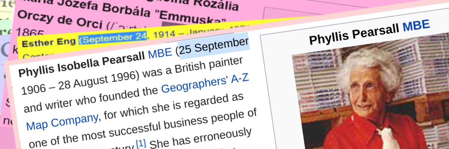
Women in History Month: Phyllis Pearsall – Creator of the iconic A-Z Mapping
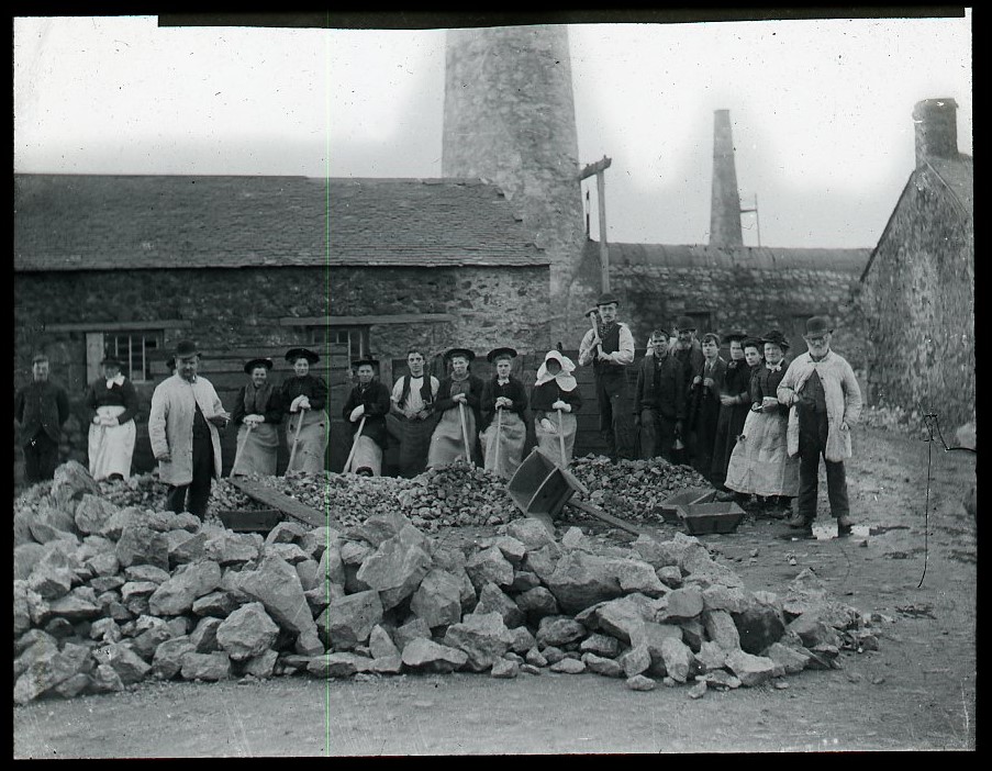
Women in History Month: The role of the Cornish Miner’s “Married Widow”
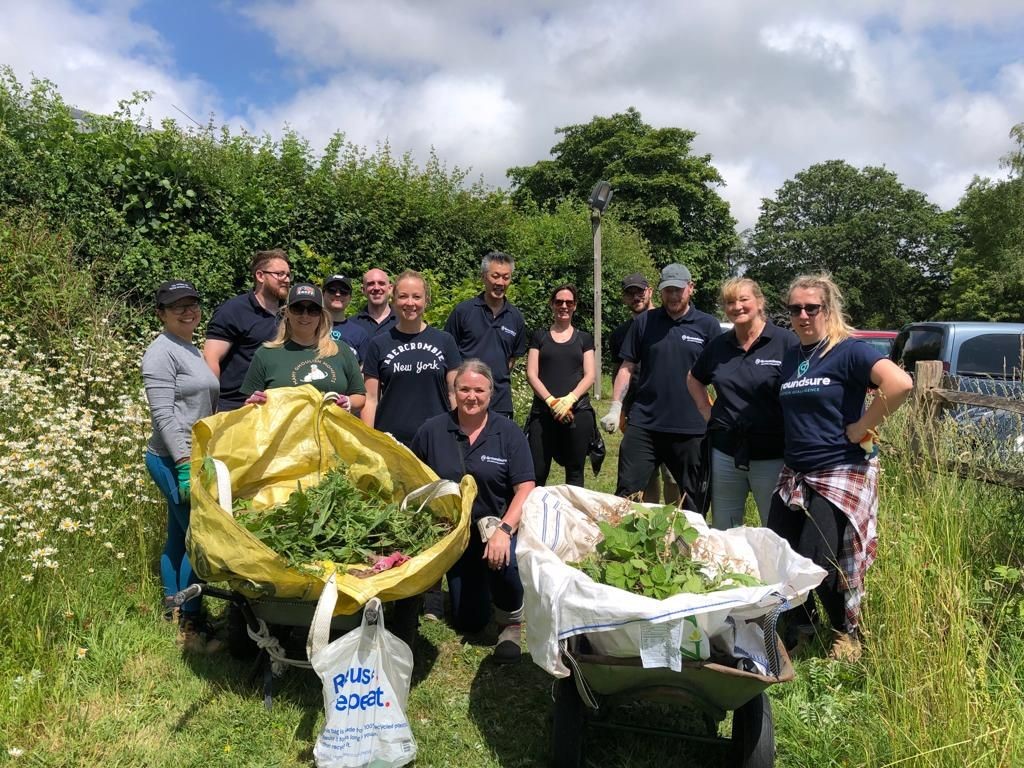
Supporting the local community
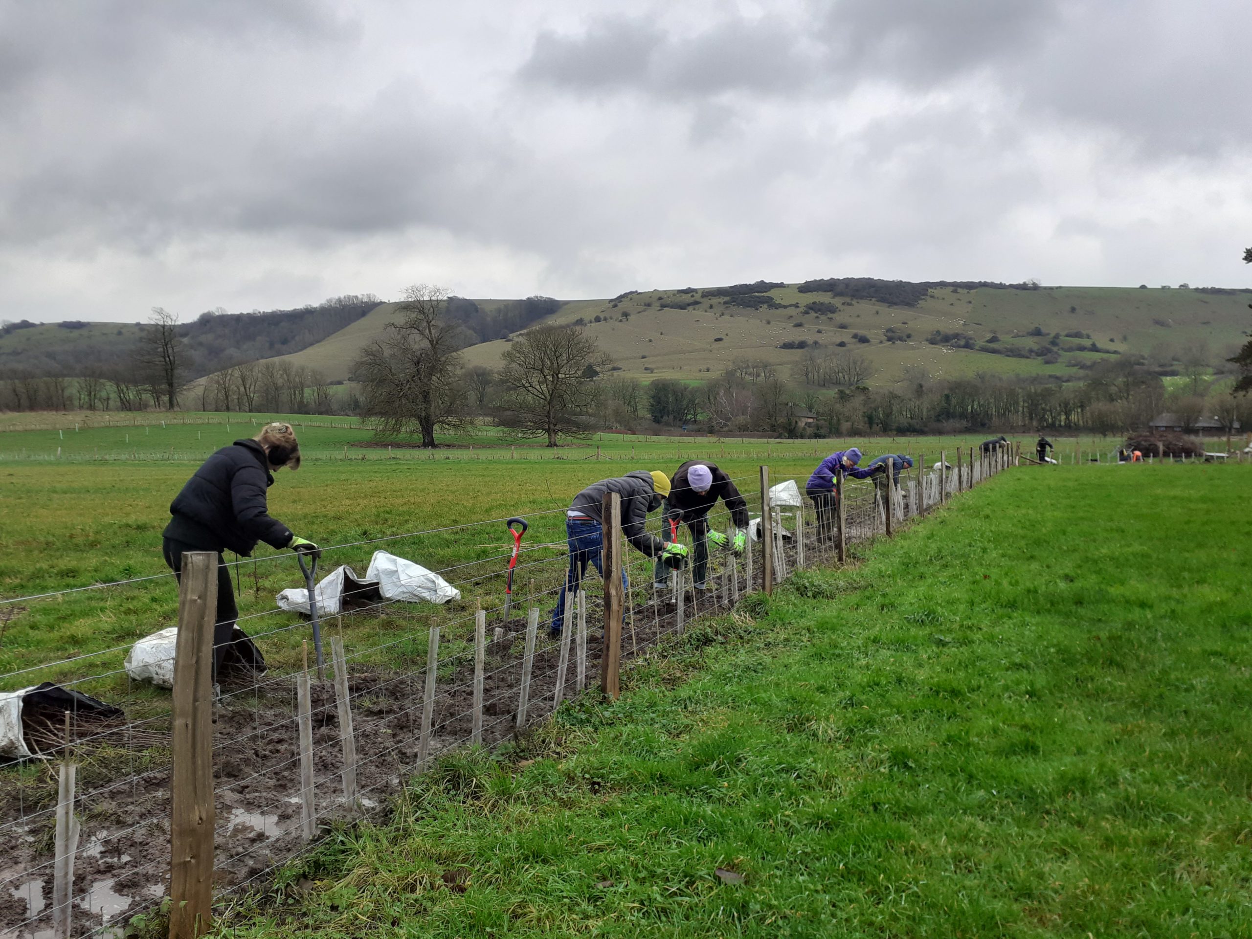
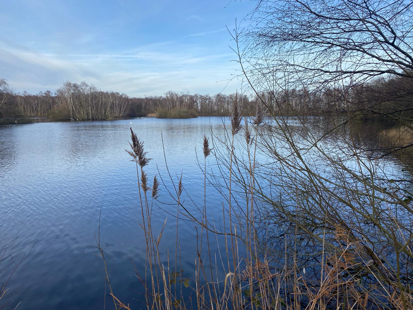
Natural Flood Management with the Sussex Flow Initiative
The effect of Cornish Mining on Development sites
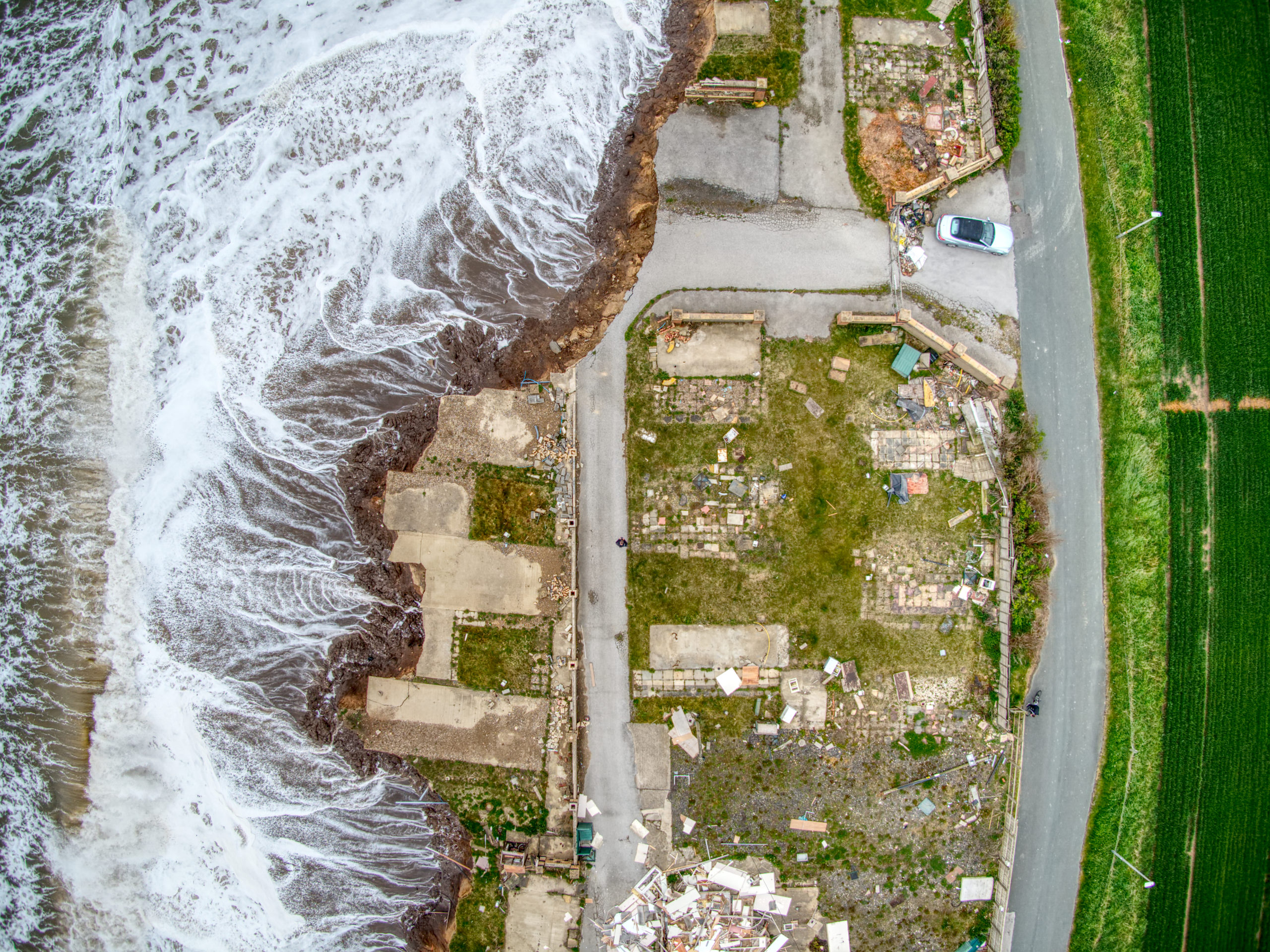
Coastal Erosion and Landfill Exposure: Future Impacts of Climate Change
The Climate Year – COP, Climate Duties and Analysis for Clients
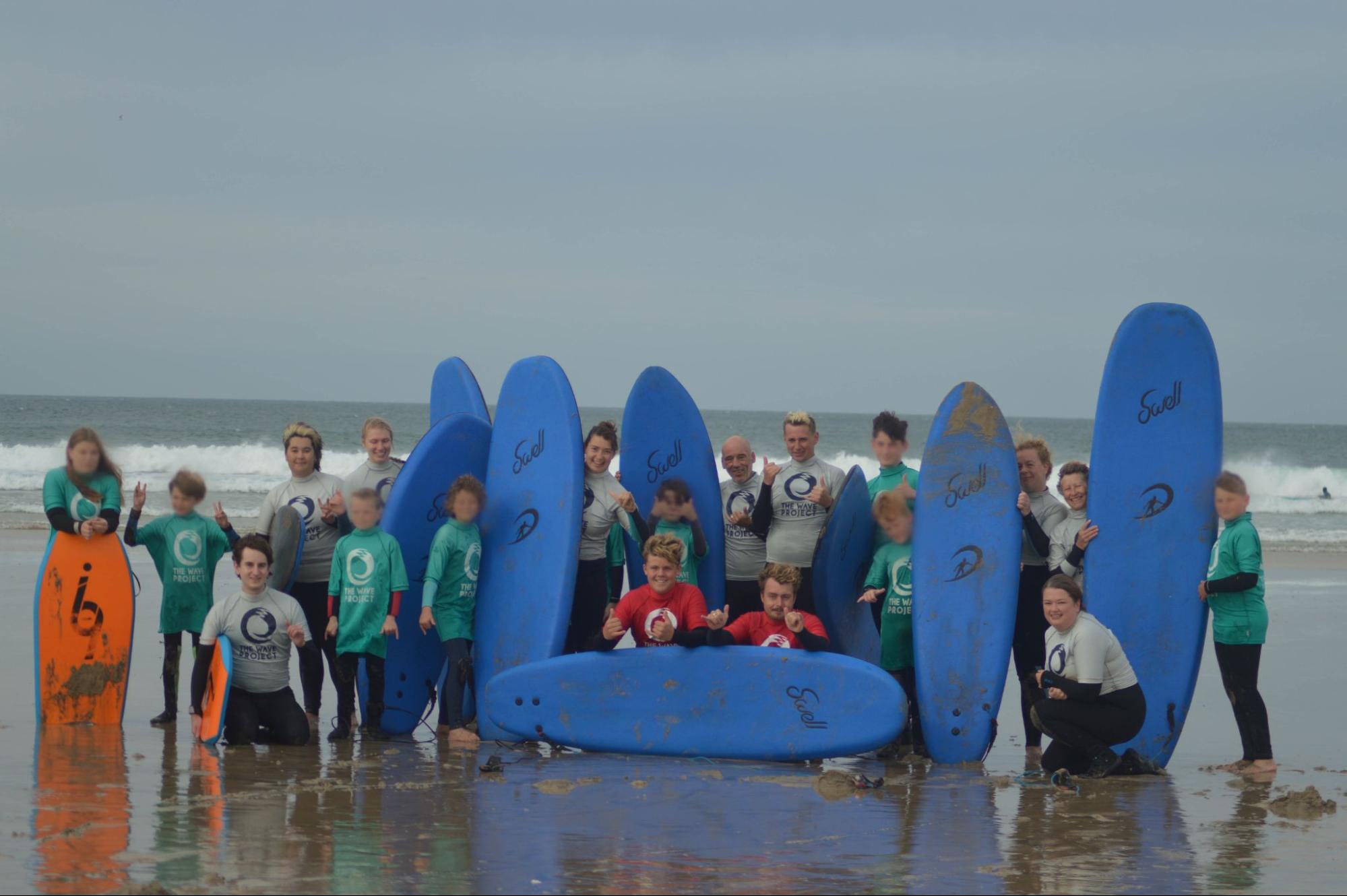
The Wave Project – Providing mental health support through the joys of surfing
Important change to radon data in our reports and data packs
“England’s Most Contaminated Site?”: A Challenge to Development Viability?
